GEOSPATIAL SERVICES
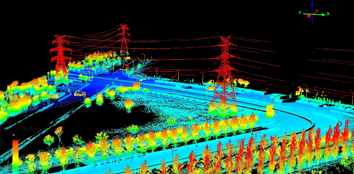
VALUE3D provides LiDAR (Light Detection and Ranging) data processing services for various industries. LiDAR data processing is a technical art, which requires a special set of skills with well-experience to evaluate and process the data swiftly to achieve quality with higher standards.
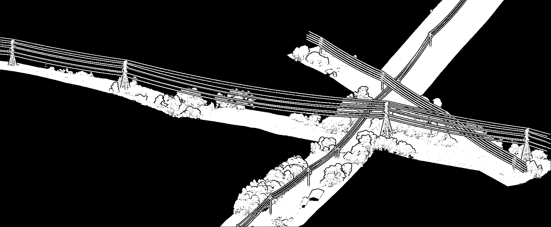
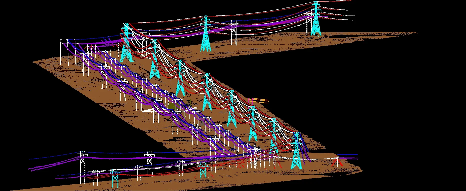
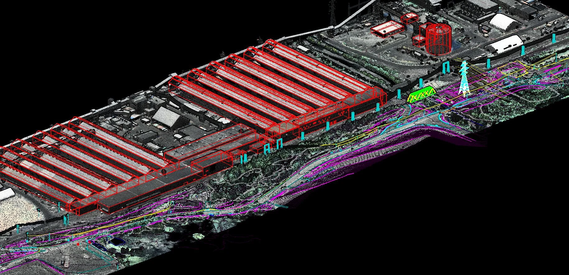
VALUE3D maintains a dedicated team to process high volumes of highly dense LiDAR data to create very accurate 3D terrain and as built structural content. We generate accurate altitude data and intensity images with the aid of IMU and GPS data to model the earth’s surface in detail.
Amongst the various LIDAR data processing organizations, we stand out with our uniqueness in handling the data which are complex and challenging by implementing the right tools and knowledge to analyse the data, as we are backed up with a team that can seamlessly handle variations in workload without hampering the quality.
Our customers benefit through a partnership with VALUE3D, as we answer all your LiDAR processing needs, and deliver error-free data in a timely manner.
LIDAR DATA PROCESSING
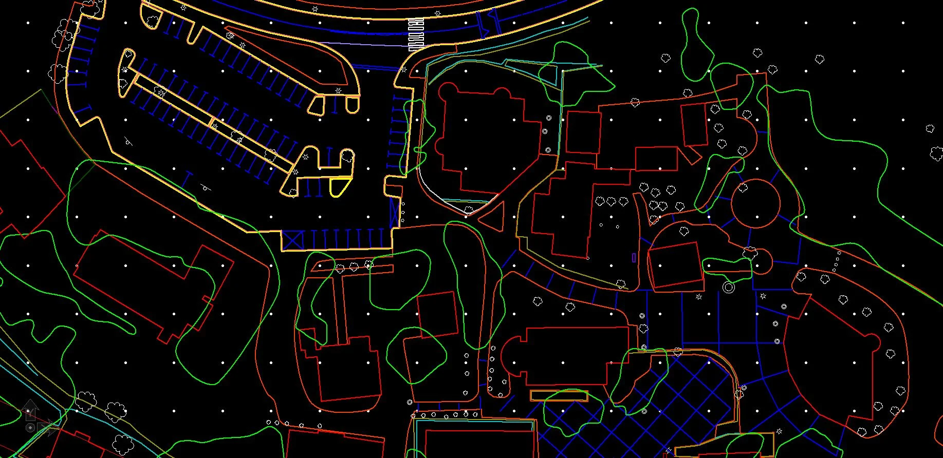
We are expertise in Extraction of DTM and DSM surface models, Planimetry mapping for the different survey areas and also in all kind of GIS software's to produce different products such as DTM, DSM, TIN models, Contour models & Planimetry map, both in 2D & 3D environments.
2D Line Mapping : Value3D is master in extracting all kind of topographic features by using LiDAR using Data set and Ortho Imagery. We provide our services for all real estate, municipalities, and Government related projects.
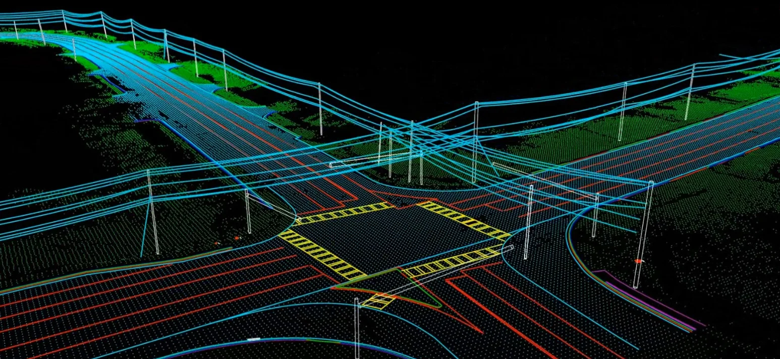
3D Line Mapping : We do vectorization of all kind of planimetric features by using LiDAR data sets such as mobile LiDAR data, Aerial LiDAR data & UAV LiDAR data sets in 3D. We are also masters in assigning elevations to all map features by referring to the LiDAR data sets.
MOBILE MAPPING
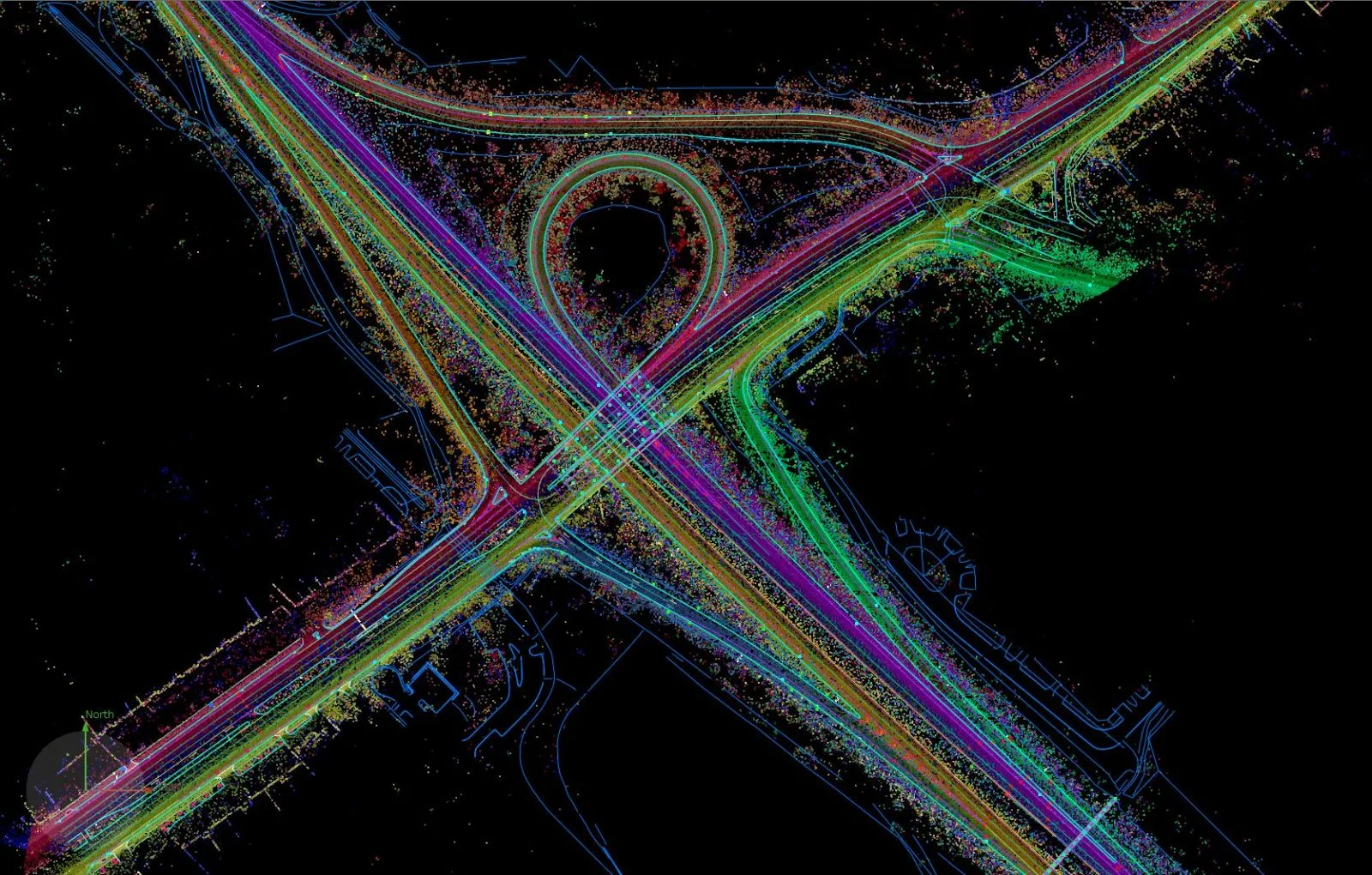
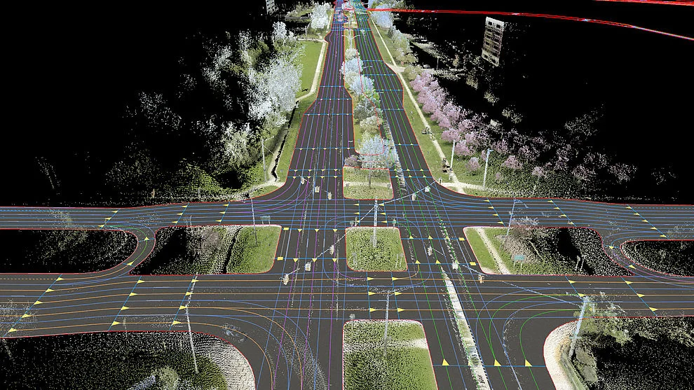
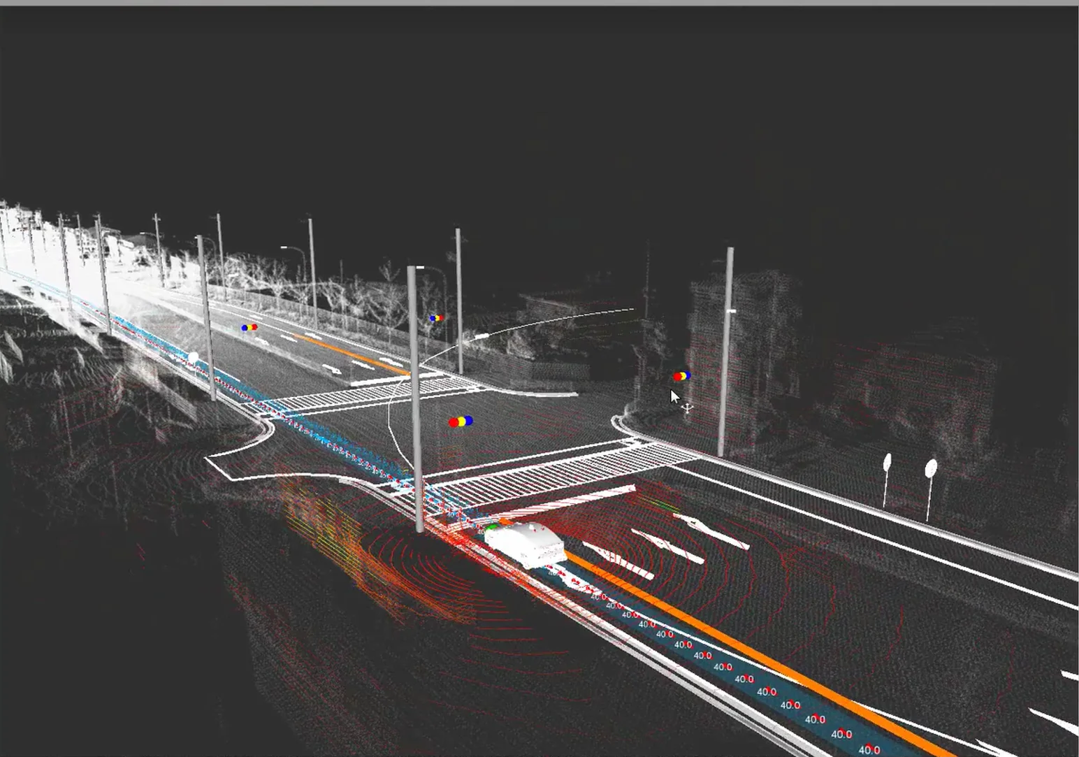
Mobile mapping is a highly efficient method for collecting extensive geospatial data . Mobile mapping is the process of collecting geospatial data from a mobile vehicle, typically fitted with a range of GNSS, photographic, radar, laser, LiDAR or any number of remote sensing systems. This very detailed point cloud is used for creating 3D vector models and is a basis for producing a TIN-model for advanced applications. These are very useful for documentation, planning, and as a practical replacement for site reconnaissance.
PHOTOGRAMMETRY
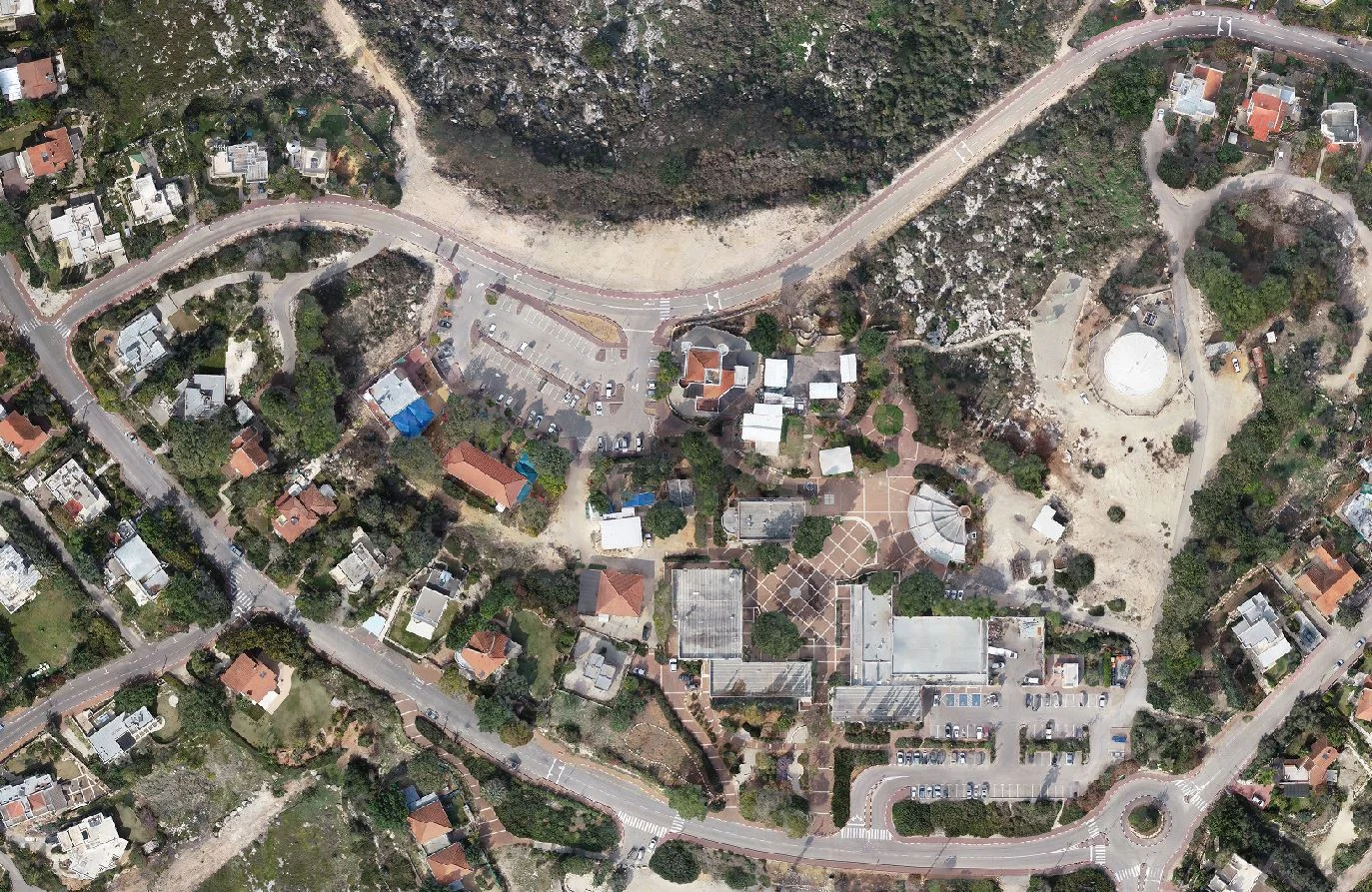
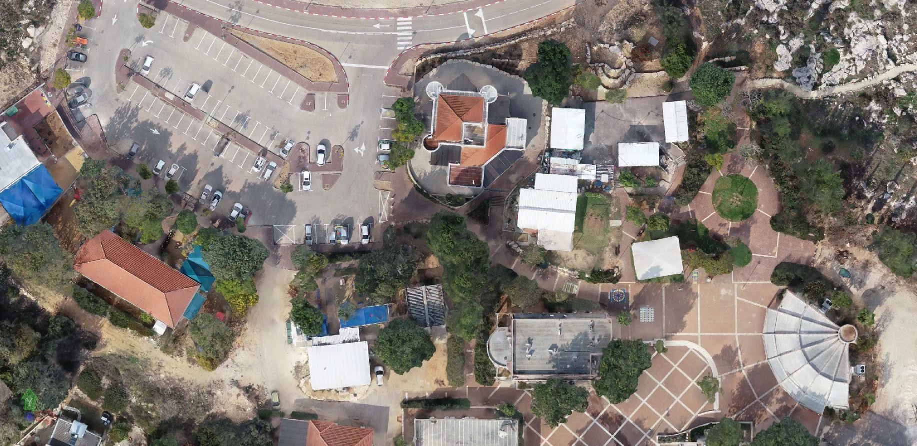
Photogrammetry generates a variety of products, including orthophotos, digital elevation models (DEMs), 3D point clouds, and textured 3D models. The goal of photogrammetry is to correct relief displacement in an image through overlapping stereo images. photogrammetric mapping products are prepared to meet a specific accuracy standard relative to established ground control. Photogrammetric methods are commonly used in conjunction with precisely calibrated aerial mapping cameras, other air-borne sensors, satellite borne sensors and specialized mapping and processing equipment to produce mapping products such as Digital Elevation Model data, vector feature mapping, topographic mapping and ortho rectified imagery.


3D CITY MODELLING
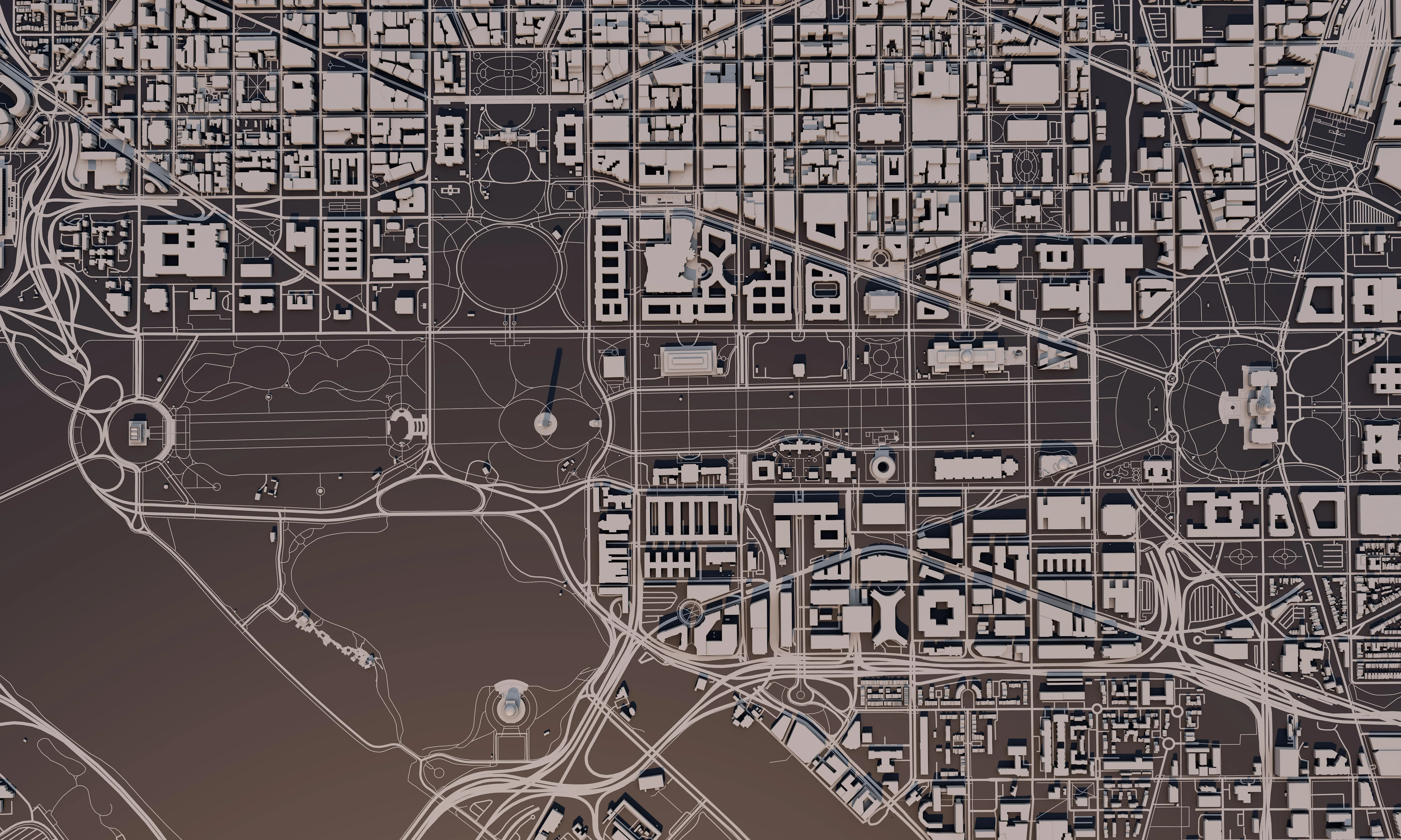
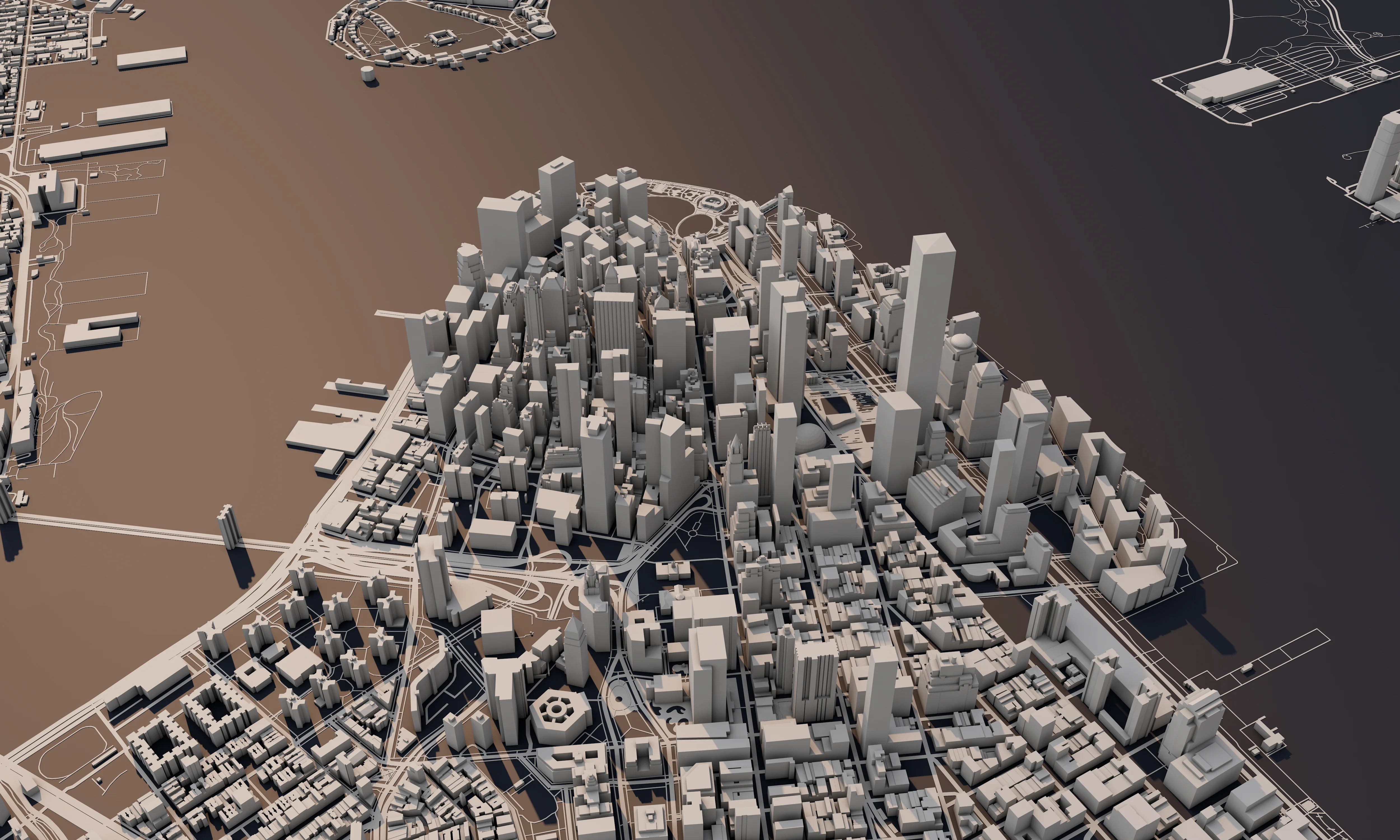
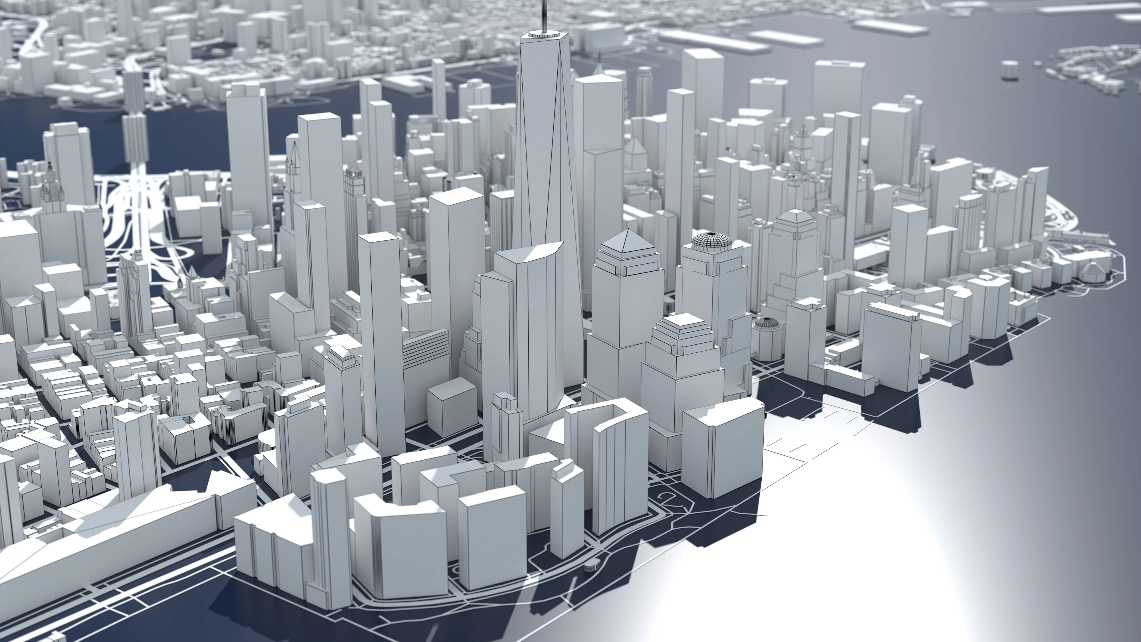
A 3D city model is a detailed digital representation of a city’s infrastructure, which can be used to simulate real-world plans in a cost-efficient way. 3D city models also allow the analysis of individual buildings – issuing many characteristics that can be used to calculate the energy saving potential.
In addition to the above, buildings can be created in such a way that they look realistic and attractive, and, as such, can be used for city marketing. When other objects, such as roads and utility infrastructure, are included in the 3D city model, the model can also be used to calculate cascade effects of incidents that occur in the city. The 3D city model also forms the basis for the digital twin. The more a 3D city model is enriched and linked with information, the more valuable and appropriate the digital twin of a city becomes.
Related Services
-
01
BIM FOR CONSTRUCTION
Building information modeling (BIM) is an intelligent multi-dimensional model-based process. It provides every detail to AEC professionals needed to plan, design, construct, and manage buildings and Infrastructure.
Details -
02
BIM FOR OPERATIONS
3D Laser Scanning is a non-contact, non-destructive technology that digitally captures the shape of physical objects using a line of laser light.
Details -
03
ENGINEERING SERVICES
The engineering services market is segmented by engineering disciplines and are defined as any service that requires the application of specific knowledge from all kinds of engineering disciplines to services or works, to make up engineering services.
Details
